


Driving The Angeles Crest Highway
The Angeles Crest Highway is a road that is worthy of a leisurely drive. The highway cuts right through the middle of the Angeles National Forest and provides some absolutely stunning views. Starting at La Cañada-Flintridge, heading northeast on Highway 2, you'll travel around 66 miles of two lane, beautiful highway until you reach the intersection with Highway 138. There are frequent pullouts, trailheads, campgrounds and restroom areas along the way. The road is winding and hilly, which makes it all the more fun to drive.
Along the drive, you'll see spots to pull over and take a look around. Do it. You can catch views of the Los Angeles basin on a very clear day. At the right spots, you can see Mount Wilson, Mount Baden Powell, and so many gorgeous landscapes.
There are several picnic spots along the way. We stopped at Charleton Flats on our drive. This is a small turn-off, which takes you into a great little forest getaway. There are parking spots along the paved road, and many sites with tables and grills. (Be conscious of burn orders in the area, before lighting any fires!) We started this journey in the first place due to a strong need to get outside. I (Andrea) had an accident and badly injured my leg in July 2016. I was on crutches and very confined to short walks - like from the car to the couch. After weeks of being stuck, we tried to find an adventure that would get us outside, but be easy for my still slowly healing leg. This was a perfect option. This trip obviously requires a good deal of driving, with walking/hiking is an optional addition.
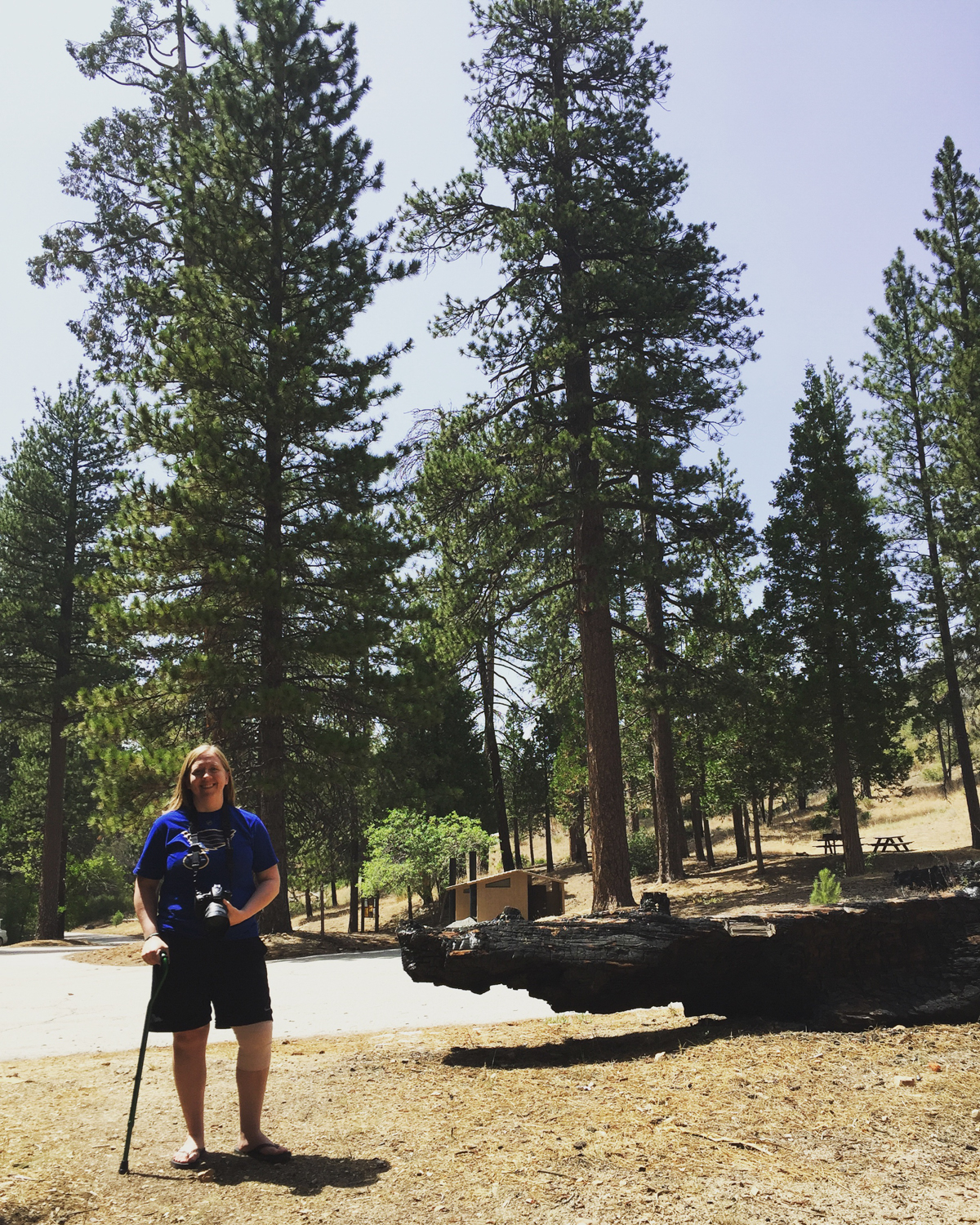
I was able to get from the car to the picnic site very easily with my awesome cane, yet was still able to feel like I was well removed from the city, deep in the forest, and enjoyed the ground cover crunching under my feet. We even got some rain as we approached the higher points of the road, which was a chilly break from the heat of home.
Speaking of rain, this road can be unsafe in bad weather - from ice and snow to just plain rain. The rocky walls tend to break down with the rain flowing over them, and can litter the road with small and large rocks. We learned about this firsthand, while over halfway along the road, and at a high point, it started to rain. Within a few miles, we were dodging rocks jumping down the wall and bouncing all over the road in front of us. It was a bit nerve-wracking, and we pulled over for a few minutes to avoid the downpour. Take a look at Caltrans to check for closures and know the weather before you head out on this drive.


If you need an easy way to get out and explore, this is a fun trip. Very low intensity, just a nice drive through the mountains. Stop for a picnic in the forest. We also used it to check out the trailheads and plan for future hikes when my leg has healed. Be sure to display your Adventure Pass if you park, since you are in a National Forest. Drive safely and stop for a souvenir at one of the visitor centers!


